
You open your favorite maps app, and within seconds, a little blue dot shows your exact location–sometimes even the direction you’re facing. It’s easy to take for granted, but behind that tiny dot is an incredible system of technology and coordination happening in real time. GPS apps blend satellites, signals, and clever software to pinpoint your position almost anywhere on Earth, turning a complex process into an everyday convenience.
The Network of Satellites Above You
GPS stands for Global Positioning System, and at its heart is a network of at least 24 satellites orbiting the Earth. These satellites continuously send out signals with the exact time and their current position.
Your phone’s GPS receiver listens for these signals. By picking up data from at least four satellites, it can figure out your location through a process called trilateration—basically, measuring your distance from each satellite and finding the one spot where all those distances meet.
Your Phone’s Role in the Process
While satellites do the heavy lifting of providing data, your phone’s GPS chip processes that information to calculate your location. Modern devices combine GPS data with other sources, like cell tower connections and Wi-Fi networks, to get a faster and more accurate reading.
This is why your location often appears instantly in urban areas–your phone is blending satellite positioning with signals from nearby towers and hotspots to narrow down your position more quickly.
Accuracy and Why It Varies
GPS is impressively precise, often pinpointing your location within a few meters. However, accuracy can be affected by factors like tall buildings, dense forests, or even heavy cloud cover. These obstacles can block or reflect satellite signals, making it harder to calculate an exact position.
To counter this, GPS apps use a system called Assisted GPS (A-GPS), which taps into nearby cell and Wi-Fi data to fill in the gaps. The result is a much quicker and more reliable fix on your location, even in tricky environments.
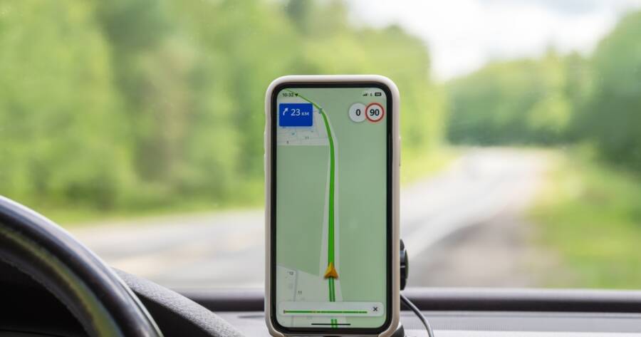
From Location to Navigation
Once your phone knows your location, your GPS app takes over, overlaying it onto a digital map. The app then calculates routes, estimates travel times, and adjusts directions in real time as you move.
It’s not just about showing where you are–it’s about predicting where you’re going and guiding you there efficiently. This combination of constant location updates and smart mapping turns raw coordinates into a useful, user-friendly tool for everyday travel.
Privacy and Control
While GPS technology is incredibly useful, it’s also tied to your personal data. Many apps request location access, but you can control which ones have permission and when. Turning off location sharing when it’s not needed can help protect your privacy.
Modern smartphones allow you to set location permissions to “while using the app” or “only this time,” giving you more control. Knowing how GPS works is just part of the equation—knowing how to manage it is equally important.
The Hidden Precision Behind the Blue Dot
Every time your GPS app shows you that little blue dot, it’s the result of satellites orbiting thousands of miles away, signals traveling at the speed of light, and your phone calculating your position in fractions of a second. It’s a remarkable example of complex technology made simple. The magic of GPS isn’t just in knowing where you are—it’s in the way it seamlessly connects you to the world around you, anytime and almost anywhere.